Full Text:
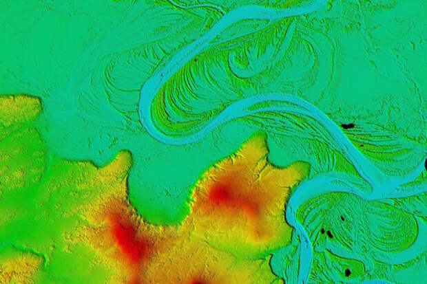
The National Science Foundation and the National Geospatial-Intelligence Agency have publicly released new 3-D topographic maps of Alaska in support of a White House Arctic initiative to inform better decision-making in the Arctic. The digital elevation models, or DEMs, are the first maps to be released by the ArcticDEM project, which was created after a January 2015 executive order calling for enhanced coordination of national efforts in the Arctic.
Image credit: NSF/NGA
