Full Text:
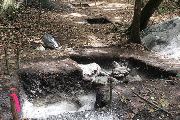
Collection, storage and management of water were top priorities for the ancient Maya, whose sites in Mexico, Belize and Guatemala were forced to endure seven months out of the year with very little rainfall. As researchers expand their explorations of the civilization outside of large, elite-focused research site centers, aerial imagery technology is helping them locate and study areas that are showing them how less urbanized populations conserved water for drinking and irrigation.
University of Cincinnati researchers used a surveying technology called LiDAR (Light Detection And Ranging) – along with excavation data – to examine the spatial characteristics, cultural modifications and function of residential-scale water tanks – a little-investigated component of Maya water management by commoners versus the more powerful and visible elites.Image credit: Jeff Brewer
