Full Text:
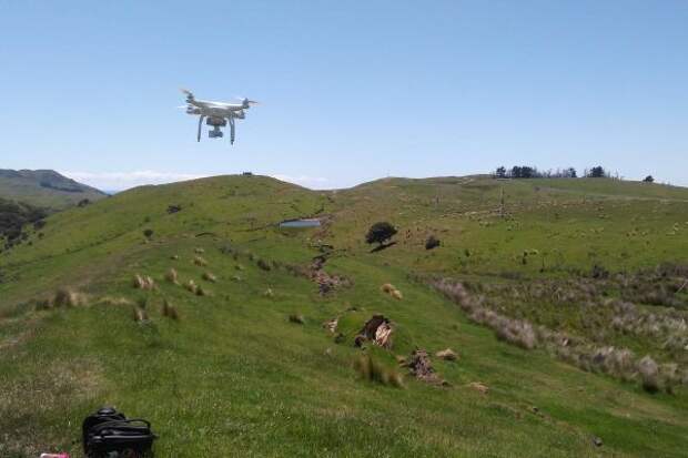
A University of Michigan (UM)-led team of geologists and engineers is mapping surface ruptures and some of the tens of thousands of landslides triggered by last month's magnitude-7.8 earthquake in New Zealand. Working in collaboration with scientists from New Zealand's GNS Science and the U.
S. Geological Survey, they will combine observations collected by satellites, drones, helicopters and on foot to create what is expected to be the largest inventory of earthquake-triggered landslides, according to team leader and UM geologist Marin Clark. The high-resolution digital topographic maps the researchers create will help response teams in New Zealand determine which landslides pose the greatest threat for future sliding and for river damming that can lead to catastrophic flooding. The project is also viewed as a training exercise for future large earthquakes anticipated in places like Southern California.Image credit: John Manousakis
