Full Text:
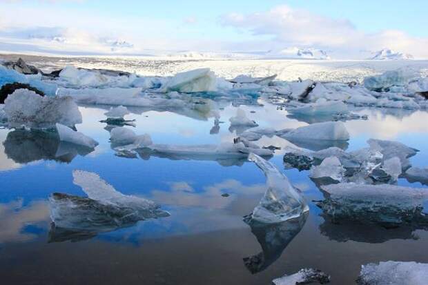
A team of researchers that included National Science Foundation-funded scientists exploited four COSMO-SkyMed radar-imaging satellites on the Rutford Ice Stream in Antarctica. The satellites gathered near-continuous data for nearly nine months from a variety of angles. The Rutford Ice Stream is a fast-moving river of ice, approximately 300 kilometers long and 25 kilometers wide, in West Antarctica.
It connects glaciers in the Ellsworth Mountains to the Filchner-Ronne Ice Shelf, a floating chunk of ice roughly the size of California. Driven by its own weight, the stream of solid ice flows downhill toward the sea at a rate of about 1 meter per day, though that speed varies by as much as 20 percent with the tides.Image credit: B. Minchew/Caltech
